You’ve checked your zoning. You’ve read the code. You’re ready to design.
But there’s a hidden layer in Alabama development that most landowners never even consider until it’s too late.
It’s called the comprehensive plan, and while it’s not a legally binding document, it holds enormous power over whether your project gets approved or rejected.
Understanding how comprehensive plans work, and how they can block even legally-zoned uses, is critical for anyone looking to build, subdivide, or repurpose land in Alabama.
So let’s pull back the curtain on this under-the-radar issue before it costs you months of delays and tens of thousands in redesigns.
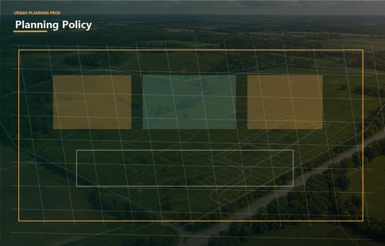
What Is a Comprehensive Plan?
A comprehensive plan (also called a master plan or general plan) is a long-range planning document created by a city, county, or regional agency. It outlines a community’s goals for growth, land use, transportation, infrastructure, environmental protection, and economic development.
Comprehensive plans often include:
- Future land use maps
- Development priority zones
- Transportation and utility infrastructure goals
- Density and housing diversity strategies
- Environmental protection zones
- Areas designated for urban vs. rural preservation
It’s a big-picture document that guides local officials when deciding how and where development should occur—regardless of what the current zoning allows.
In short: even if your land is zoned for something today, if the comprehensive plan suggests a different long-term use, your project could face resistance or denial.
The Plan vs. The Code
Here’s where many landowners get tripped up.
Zoning is law. The comprehensive plan is policy.
But policy informs law—and it shapes decisions made by zoning boards, planning commissions, and city councils. When a proposed development contradicts the comprehensive plan, it raises red flags during public hearings, staff reviews, and conditional use processes.
For example:
You might own land zoned for R-2 residential, which legally allows you to build a small multifamily property. But if the comprehensive plan labels your area as low-density residential preservation, the city could:
- Deny your building permit
- Require a rezoning or conditional use approval
- Ask for additional studies or redesigns
- Recommend against your project in public review
This isn’t hypothetical—it happens all the time across Alabama, especially in counties with active planning departments like Jefferson, Shelby, Madison, and Baldwin.
How to Know If Your Project Aligns
Your land’s current zoning and the future land use designation in the comprehensive plan must both support your intended development for it to proceed smoothly.
To evaluate this alignment, we examine:
- The future land use map for your area
- Overlay districts and redevelopment zones
- Any neighborhood-specific small area plans
- Housing and infrastructure priority corridors
- Community objections and prior denials on similar sites
Without this strategic lens, many developers pour resources into designs that are doomed from the start not because they’re illegal, but because they don’t align with the city’s long-term vision.
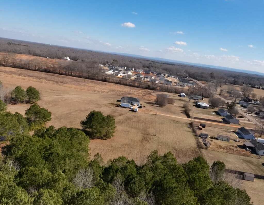
Case Study: The “Wrong Plan” Subdivision
In North Alabama, one landowner had 15 acres zoned for residential development. The zoning allowed for 20 homes. They hired a surveyor, got a site plan drafted, and submitted for subdivision approval.
But the local planning staff flagged their project because the land was within a “rural preservation corridor” under the city’s comprehensive plan.
The planning commission ultimately denied the application, citing the desire to maintain low-density, agricultural character in the area.
The result?
- $18,000 in wasted engineering and legal costs
- 5 months lost to redesign
- A forced pivot to just 5 large-lot estate homes, reducing ROI by over 60%
All because they didn’t start with a comprehensive plan review.

How UrbanPlanningPros Helps You Align (and Win)
At UrbanPlanningPros, we go beyond zoning code interpretation. We dig into the real layers of policy and politics that shape land development in Alabama.
Our process includes:
- Reviewing your property’s current and future land use designations
- Evaluating plan consistency and potential pushback
- Recommending design tweaks or phasing strategies that align with local goals
- Coordinating with planning staff before you ever submit a plan
- Helping prepare for public hearings or rezoning applications if needed
We don’t just tell you what’s possible, we help you craft a strategy that matches your vision with what the city wants to approve.
Don’t Let a Hidden Map Derail Your Project
You can follow every law, meet every setback, and still get denied—if your project doesn’t align with the comprehensive plan.
That’s why we treat these plans like the playbook they are.
Before you invest in design, hire an engineer, or submit your application, let’s map out your development strategy and ensure you’re not running uphill against local policy.
Schedule Your Land Use Strategy Session Now
https://urbanplanningpros.com/contact
Because knowing your zoning is smart.
But knowing the plan behind the zoning?
That’s how smart landowners win.
Expanded planning guide for What is a Comprehensive Plan And Why Could It Block Your Project?
Zoning content should help the reader understand that a zoning label is only the starting point. The real question is how the classification, overlays, comprehensive plan, use standards, dimensional rules, parking, access, hearings, and staff interpretation affect the intended project.
Why this issue matters before design momentum builds
A concept plan can look clean while still conflicting with use tables, setbacks, density limits, buffering requirements, special exceptions, future land-use policy, or local political expectations. Reading zoning early keeps the owner from designing a version of the project that cannot survive review.
For landowners, developers, builders, and investors, the important question is not whether the idea sounds attractive. The practical question is whether the idea can survive the zoning path, the physical site, the required technical studies, the available budget, the review calendar, and the owner's exit strategy. When those pieces are not discussed together, the project can look strong in conversation while quietly accumulating risk.
Common bottlenecks behind this zoning question
The bottlenecks usually include relying on a parcel listing instead of the ordinance, missing overlays, misunderstanding conditional-use procedures, skipping comprehensive-plan context, and assuming that neighboring uses prove the proposed use will be allowed.
Most stalled land decisions are not stalled because one person failed to work hard enough. They stall because the wrong question was answered first, the next technical scope was not tied to a decision, or the owner received fragments of information without a clear interpretation. A survey note, zoning email, utility comment, drainage observation, or staff concern only becomes useful when someone translates what it changes for the project path.
How each stakeholder should read the risk
Landowners should look at this topic through value, timing, and optionality. If the issue affects use, density, access, title, drainage, environmental review, or approval sequence, it can change whether the land should be held, sold, partnered, entitled, built, or walked away from. Developers should read the same issue through entitlement risk, infrastructure cost, phasing, capital exposure, and investor confidence. Builders should ask whether the information changes site readiness, field sequencing, permit timing, or construction assumptions.
Lenders, investors, brokers, attorneys, engineers, surveyors, and municipal reviewers all need a different level of detail, but they benefit from the same discipline: name the bottleneck, identify the missing proof, and decide what should happen next. That is why a feasibility-first article should not end with general advice. It should help the reader decide which question deserves attention before more money or credibility gets spent.
Documents to gather before the next feasibility conversation
Before the next conversation, gather the documents that show what is known and what is still assumed. The goal is not to bury the project in paperwork. The goal is to give the first review enough context to identify the most important unknowns quickly.
- Property address, parcel number, or legal description
- Current ownership or contract status
- Target use, deadline, and intended exit strategy
- Zoning classification, future land-use map, overlays, staff emails, and any prior approvals
- Concept use, density assumptions, parking counts, access points, and hearing deadlines
How UPP would turn this into a next step
UPP would compare the intended use against the jurisdiction's code and policy context, then identify whether the owner needs a simple confirmation, a rezoning strategy, a variance path, a staff conversation, or a different site plan direction.
The best next step is usually not a generic full-service proposal. It is a scoped review that answers the question creating the most uncertainty right now. Sometimes that means a feasibility study. Sometimes it means master land planning, a survey scope review, engineering coordination, wetland or flood context, community-focused planning, or owner representation to bring the team back into alignment. The work should match the decision.
When to pause, re-scope, or ask for a second read
A strong owner does not pause a project because they are afraid of progress. They pause when the next dollar is about to answer the wrong question. If a buyer is still unsure about allowed use, if the team has not confirmed access or utilities, if drainage or flood information is vague, if the local review path is still being guessed, or if the owner cannot explain the exit strategy in plain language, the project is not ready for blind momentum.
That pause does not have to be dramatic. It can be a short feasibility review, a focused consultant scope, a staff conversation, a survey clarification, a planning concept revision, or a project-coordination meeting that turns scattered comments into a real sequence. The discipline is to separate urgency from importance. Urgency says to keep moving because people are waiting. Importance asks whether the next move protects the land decision, the owner's money, and the credibility of the project story.
Practical decision checklist
- What decision does the owner need to make after reading this information?
- Which jurisdiction, reviewer, consultant, or document can confirm the highest-risk assumption?
- What could change the project cost, schedule, layout, entitlement path, or exit strategy?
- What technical work is needed now, and what can wait until the first question is answered?
- Who needs the plain-English summary before the team spends more money?
When these questions are answered in the right order, the project does not become risk-free, but it becomes easier to manage. The owner can stop treating uncertainty as background noise and start treating it as a sequence of decisions. That is the core value of Urban Planning Pros' education center: help the reader slow down just enough to avoid the wrong expensive move, then move forward with a clearer plan.
For practical use, save this article with the parcel notes, share it with the project team, and mark the one question that could change the next commitment. That single question should drive the first scope, call, or document request.
If the answer is not obvious, that is exactly the point of slowing the project down for a focused review. A short planning pause can protect a closing, a design budget, a contractor relationship, an investor meeting, or a public hearing. It gives the owner a cleaner story and gives the team a better reason for the next action.
Internal backlinks
Continue through the UPP planning path
Use these related pages to connect this article to the next useful service, education hub, or project intake step.
- Urban Planning and DevelopmentConnect zoning to the larger planning path.
- Community-Focused PlanningPrepare the public-facing project story.
- Feasibility Studies ServicesTest the zoning issue before deeper spend.
- Book a Feasibility CallAsk what the land can realistically support.