The project facts are hard to see.
Parcels, constraints, access, utilities, field notes, and potential layouts can stay scattered across documents and conversations.
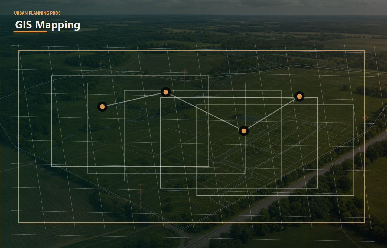
GIS and GPS mapping can clarify parcels, constraints, access, utilities, field notes, and development options before the team commits to the wrong assumptions.
Connect this work to feasibility, approval risk, budget pressure, and exit strategy.
Connect this work to feasibility, approval risk, budget pressure, and exit strategy.
Connect this work to feasibility, approval risk, budget pressure, and exit strategy.
Connect this work to feasibility, approval risk, budget pressure, and exit strategy.
Service outcomes
The goal is not just to complete gps/gis mapping services. The goal is to remove bottlenecks, clarify tradeoffs, and help each stakeholder understand the next practical move.
Parcels, constraints, access, utilities, field notes, and potential layouts can stay scattered across documents and conversations.
Bad or inconsistent visuals can create confusion during planning, investor conversations, and local review.
GPS and GIS inputs should clarify what the owner needs to do next.
Maps turn scattered site information into exhibits the team can actually discuss.
Observed conditions, parcel context, and constraints can be tracked against the planning path.
Owners, consultants, investors, and local reviewers can look at the same site logic.
Perspective
See property conditions and options more clearly before making a major decision.
Use mapping to compare constraints, access, phasing, and entitlement issues.
Coordinate field notes, site features, and work areas with fewer assumptions.
React to clearer exhibits instead of disconnected verbal descriptions.
Next logical pages
Each link uses short, descriptive anchor text so owners can move naturally from this service to the next useful planning question.
Use maps to support a clearer early site decision.
Connect GIS exhibits to the right survey scope.
Turn mapped constraints into a concept people can discuss.
Read the supporting articles tied to common land decisions.
Turn this service into a scoped next step.
Owner outcome
UPP frames the technical work around a practical owner choice: move forward, redesign, phase, negotiate, raise capital, bring in a specific consultant, prepare for local review, or stop before more money is exposed.
That is the new brand standard across the site: clear thinking, coordinated work, and fewer expensive surprises.
Send the property information and the outcome you are aiming for. UPP will help define the right first review.