The wrong survey gets ordered first.
Boundary, topo, ALTA, construction, GIS, as-built, and scanning needs are different; ordering the wrong one can delay the real decision.
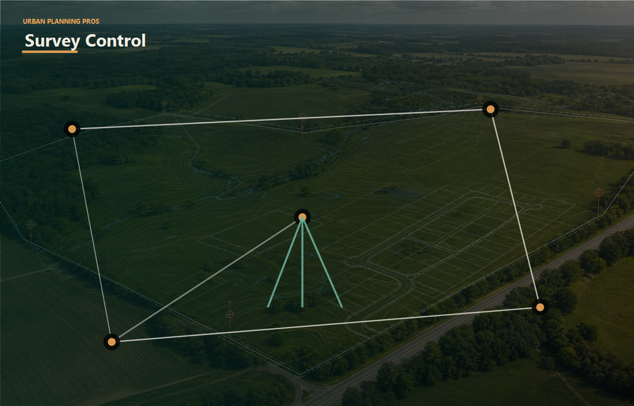
Boundary, topo, ALTA, construction, GPS/GIS, as-built, and scanning work should answer the owner's actual project question, not live as isolated documents.
Connect this work to feasibility, approval risk, budget pressure, and exit strategy.
Connect this work to feasibility, approval risk, budget pressure, and exit strategy.
Connect this work to feasibility, approval risk, budget pressure, and exit strategy.
Define the technical inputs needed before deeper design or approvals.
Service outcomes
The goal is not just to complete surveying services. The goal is to remove bottlenecks, clarify tradeoffs, and help each stakeholder understand the next practical move.
Boundary, topo, ALTA, construction, GIS, as-built, and scanning needs are different; ordering the wrong one can delay the real decision.
Layouts, offers, easements, and engineering scopes can depend on outdated or incomplete site information.
A survey document is useful only when the project team understands what it changes.
The owner knows which survey product is needed for acquisition, design, permitting, construction, or closeout.
Access, boundaries, easements, grades, and existing conditions are connected to the project path.
Survey inputs support engineering, planning, lender review, field work, and owner records.
Perspective
Know what physical and legal site facts need confirmation before making a major move.
Use survey information to reduce acquisition, layout, entitlement, and infrastructure uncertainty.
Get field and design inputs that support grading, staking, utilities, and closeout.
See site documentation connected to the real transaction or project decision.
Next logical pages
Each link uses short, descriptive anchor text so owners can move naturally from this service to the next useful planning question.
Clarify ownership lines, access, easements, and layout risk.
Understand grades, drainage, and buildable area before design.
Turn field and parcel information into decision-ready exhibits.
Read the supporting articles tied to common land decisions.
Turn this service into a scoped next step.
Owner outcome
UPP frames the technical work around a practical owner choice: move forward, redesign, phase, negotiate, raise capital, bring in a specific consultant, prepare for local review, or stop before more money is exposed.
That is the new brand standard across the site: clear thinking, coordinated work, and fewer expensive surprises.
Send the property information and the outcome you are aiming for. UPP will help define the right first review.