Grades and drainage are assumed too early.
Slopes, low points, drainage paths, and buildable areas can change the entire site plan.
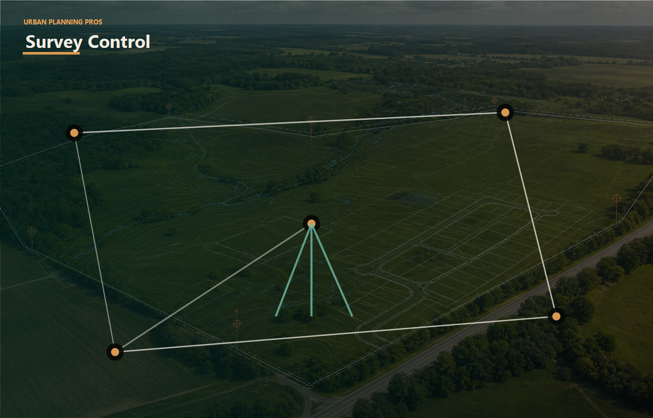
Topo work should help the team understand slopes, drainage patterns, buildable areas, access, pad planning, and early design constraints.
Keep consultants focused on work that supports the owner decision.
Connect this work to feasibility, approval risk, budget pressure, and exit strategy.
Connect this work to feasibility, approval risk, budget pressure, and exit strategy.
Connect this work to feasibility, approval risk, budget pressure, and exit strategy.
Service outcomes
The goal is not just to complete topographic survey. The goal is to remove bottlenecks, clarify tradeoffs, and help each stakeholder understand the next practical move.
Slopes, low points, drainage paths, and buildable areas can change the entire site plan.
Topo information is often the bridge between planning ideas and realistic grading or drainage work.
A topo survey should explain what changes for layout, access, pads, utilities, and feasibility.
Topography helps determine where the plan fits the ground and where it fights the site.
The team can identify issues that shape design, budget, and approval requirements.
Civil and planning work starts from better site information.
Perspective
Understand how slopes and drainage affect value, use, and development options.
Use topo information to protect layout, phasing, entitlement, and cost assumptions.
Plan grading, pads, access, and site work with clearer ground conditions.
Receive the field information needed to evaluate design direction.
Next logical pages
Each link uses short, descriptive anchor text so owners can move naturally from this service to the next useful planning question.
Turn topo findings into grading, drainage, and design direction.
Use ground conditions to test whether the project path still works.
Convert field and parcel information into decision-ready visuals.
Read the supporting articles tied to common land decisions.
Turn this service into a scoped next step.
Owner outcome
UPP frames the technical work around a practical owner choice: move forward, redesign, phase, negotiate, raise capital, bring in a specific consultant, prepare for local review, or stop before more money is exposed.
That is the new brand standard across the site: clear thinking, coordinated work, and fewer expensive surprises.
Send the property information and the outcome you are aiming for. UPP will help define the right first review.